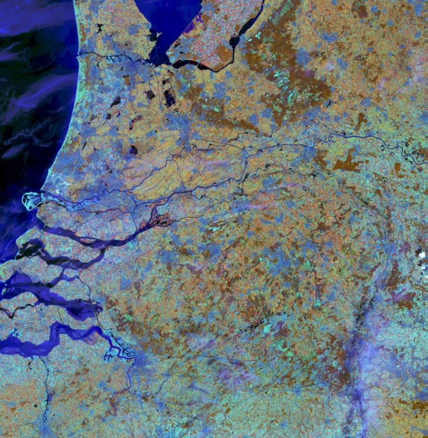
Tierra Austral implements a remote monitoring modality
Through the use of satellite images obtained from the Landsat and/or Sentinel programs, the remote monitoring methodology allows constant and remote monitoring of each property, complementing field monitoring.
Thus, with a time scale between 5 and 15 days, remote monitoring is presented as an opportunity to evaluate remote lands of difficult access or greater extension and, at the same time, makes it possible to raise the necessary alerts early and take measures to face threats or possible violations of the perimeters of the areas under conservation.